Drone-Driven Mine Plan Design

Precision Mining Technology
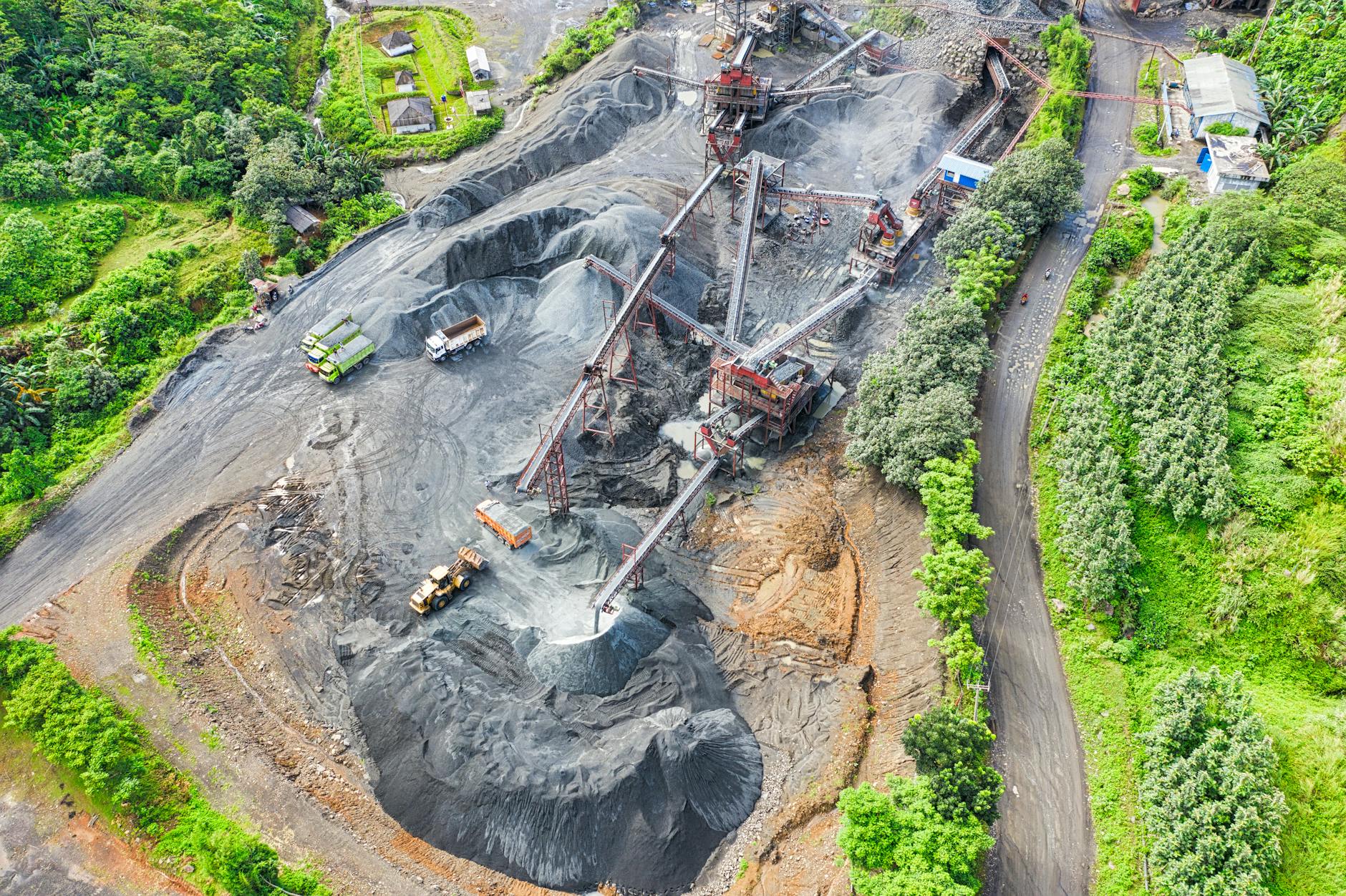
Our mine plan design services leverage advanced drone technology to support efficient and data-driven mineral project development in Manitoba. Using drones equipped with high-resolution cameras and geospatial sensors, we collect precise aerial data to generate detailed topographic maps, digital elevation models, and 3D terrain models that support mine layout planning, pit design, haul road alignment, drainage assessment, and infrastructure positioning. By integrating drone-based surveying with geological and engineering analysis, we help clients develop accurate, safe, and environmentally responsible mine plans while reducing survey time, operational risk, and project development costs.
GIS-driven Resource Management
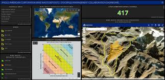
Our Geo‑spatially Driven Resource Inventory service delivers high‑precision mapping, modeling, and analytics that empower mining, environmental, and energy sector clients to make informed, defensible decisions across the full project lifecycle. With more than a decade of geospatial experience, we integrate LiDAR, sonar, hydrographic data, and advanced remote sensing to support flood modeling, potash pond inventory, terrain analysis, and environmental assessments. Our team develops robust geodatabases and real‑time ArcGIS Online dashboards that streamline field data collection, enable live operational monitoring, and enhance regulatory reporting. We provide real‑time dredge monitoring, volume calculations, and spatial reporting to optimize operations and maintain compliance, along with stream channel mapping, land‑use assessments, and environmental site selection for oil and gas and mining development. Through expert GIS analysis, custom spatial models, and regulatory‑ready cartographic products, we deliver transparent, accurate, and actionable geospatial intelligence that strengthens project planning, operational efficiency, and environmental stewardship.
Mine Closure Planning Consultancy
Our mine closure planning team integrates academic specialists with seasoned field practitioners to deliver sustainability‑focused, regulation‑compliant closure strategies that support responsible long‑term land stewardship. By combining advanced research in geochemistry, hydrogeology, reclamation ecology, and environmental engineering with decades of real‑world mine operations experience, we design closure plans that proactively address environmental risks and meet or exceed evolving regulatory requirements. We emphasize progressive closure—implementing reclamation activities throughout the life of the mine to reduce long‑term liabilities, minimize environmental impact, and shorten the timeline to final rehabilitation. Our multidisciplinary experts develop evidence‑based reclamation designs, predictive environmental models, and long‑term monitoring frameworks that promote ecological resilience, water quality protection, and successful post‑mining land use. The result is a comprehensive, technically defensible, and sustainability‑driven closure strategy tailored to the unique geological, operational, and community context of each project.